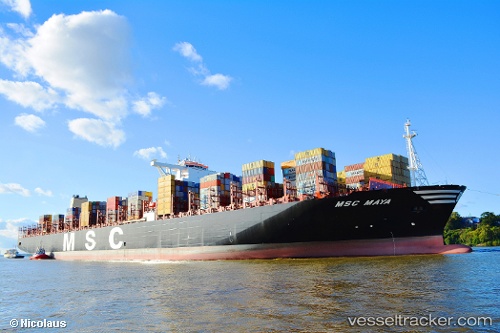
 vesseltracker.com
Live AIS position:
5.59948° N, 78.18489° E UTC. 118 nm SW of Bentota River Apt),
updated 2025-11-20 03:28:26 UTC.
Find the position of the vessel Msc Maya on the map. The latter are known coordinates and path.
marine traffic ship tracker show on live map
The current position of vessel Msc Maya is 5.59948 lat / 78.18489 lng. Updated: 2025-11-20 03:28:26 UTCCurrently sailing under the flag of Panama
Details:
Last coordinates of the vessel:
UTC, 4.81000, 77.29833, course: -1, speed: 17UTC, 5.28333, 77.82833, course: -1, speed: 17
UTC, 5.48500, 78.05500, course: -1, speed: 16
2025-11-20 03:28:26 UTC, 5.59948, 78.18489, course: 50, speed: 16.1
Track of the vessel in the last 14 days
The ship also appears on the maps: